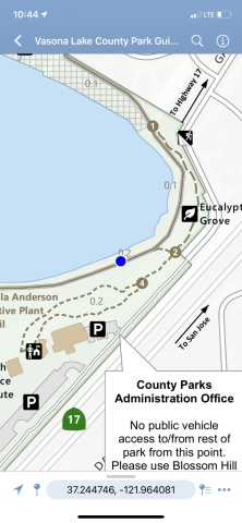
Find your location on Park maps using
Why Do We Recommend Using Avenza Maps?
- View official County Parks Maps on your mobile phone.
- It's free and works with Apple and Android devices.
- See your GPS location offline.
- Neighboring agencies including Mid-Peninsula Open Space District and East Bay Regional Parks also post their maps on Avenza.
- And it's pretty easy.
Get all park maps on Avenza using this QR Code, or follow the steps below for setup and download.
Step 1:
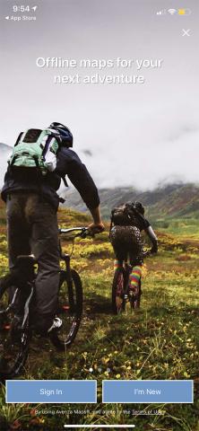
- Go to the Apple App Store
or Google Play to install
Avenza Maps. - Allow GPS use.
- Click the X in the upper
left, or create an account
(required for Android).
Step 2:
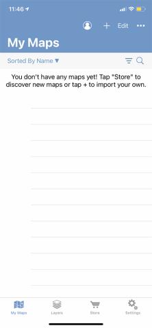
- Click on the store icon at
the bottom of the page.
Step 3:
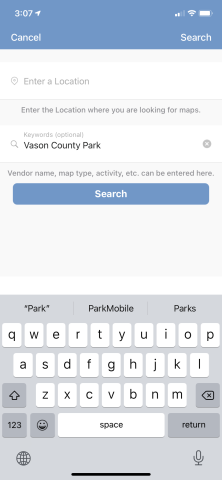
- Enter the name of your
park of interest, or enter a
location if you're already
at the trailhead.
Step 4:
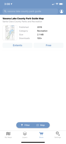
- Identify the map you're
looking for, then click
"Free", then "Download".
Step 5:
- If you're in the park, you
will see your GPS location
(blue dot), and going offline
will not affect your map.

